The Bitterroot Valley, Montana
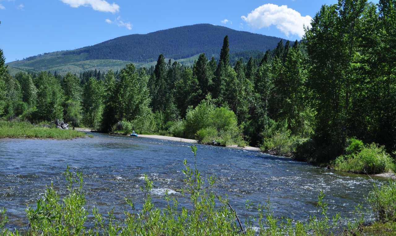
The Bitter Root Land Trust is based in Montana’s Bitterroot Valley, a 96-mile long corridor that runs north and south with the Bitterroot mountains on the west and the Sapphire mountains on the east. Formed by the East Fork and West Fork rivers at the south end, the Bitterroot River winds its way through the middle of the valley and its eight communities, finding its way to the Clark Fork River in Missoula.
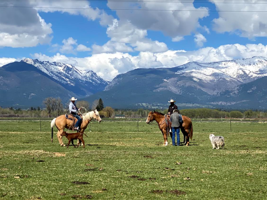
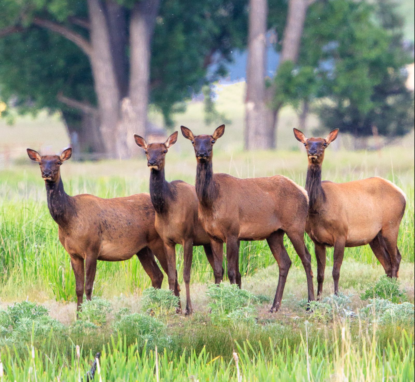
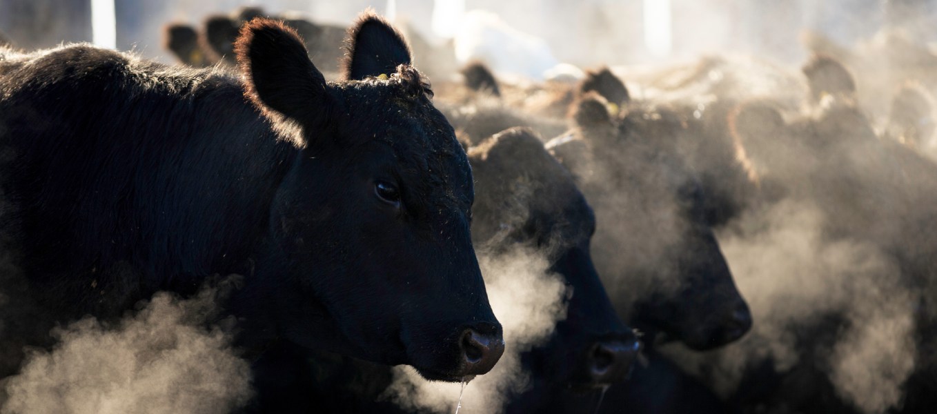
The Bitterroot was home to the Salish-Kootenai tribes until the valley was settled by pioneers and homesteaders. From the mid-1800s, the Bitterroot Valley has had a strong farming and ranching heritage. Today, the valley is a modern blend of productive agricultural lands, working ranches, growing town-centers rich with history and modern amenities, an expanding outdoor recreation economy, and a growing population.

We Are Local
While the Bitter Root Land Trust office is located in Hamilton, our work stretches throughout the entire Bitterroot Valley. We work collaboratively with our friends and neighbors in this valley to make a positive impact on our lands and waters for future generations.
Since the late 1990’s certain communities have built conservation momentum. Landowners, their friends and neighbors have driven this success, particularly in the Burnt Fork area of Stevensville, Corvallis, Hamilton, and the south valley area between Darby and Sula. If you’re wondering how conservation tools work, visit our Conservation Easement page.